Geographic Information Systems (GIS), is a set of tools for creating, storing, editing, and analyzing data related to locations on or near the Earth’s surface.
GIS provides an environment that supports explicit spatial thinking and reasoning and interdisciplinary collaboration.
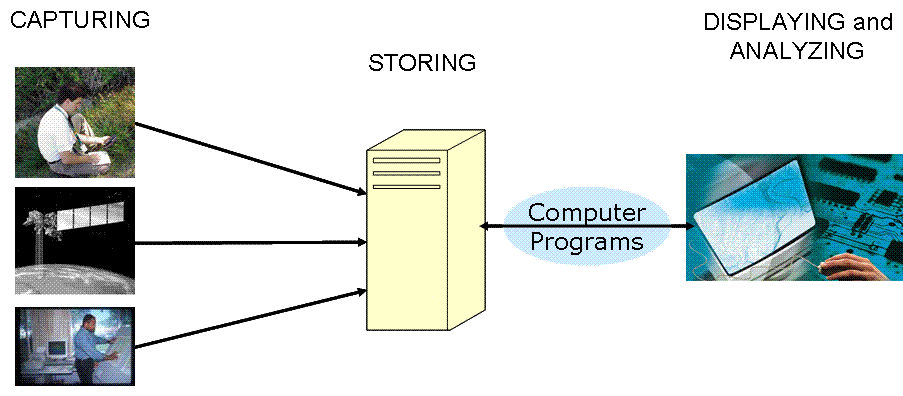
GIS stores locations as coordinates (as opposed to addresses and location names). By relying on coordinates, GIS is able to surpass the abilities of traditional data analysis in the following ways:
- GIS integrates multiple disciplines and different types of data through common geography. Traditional methods of data analysis are ill-suited to this integration — traditional analysis often takes longer, is more labor-intensive, and is error-prone.
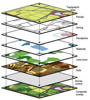
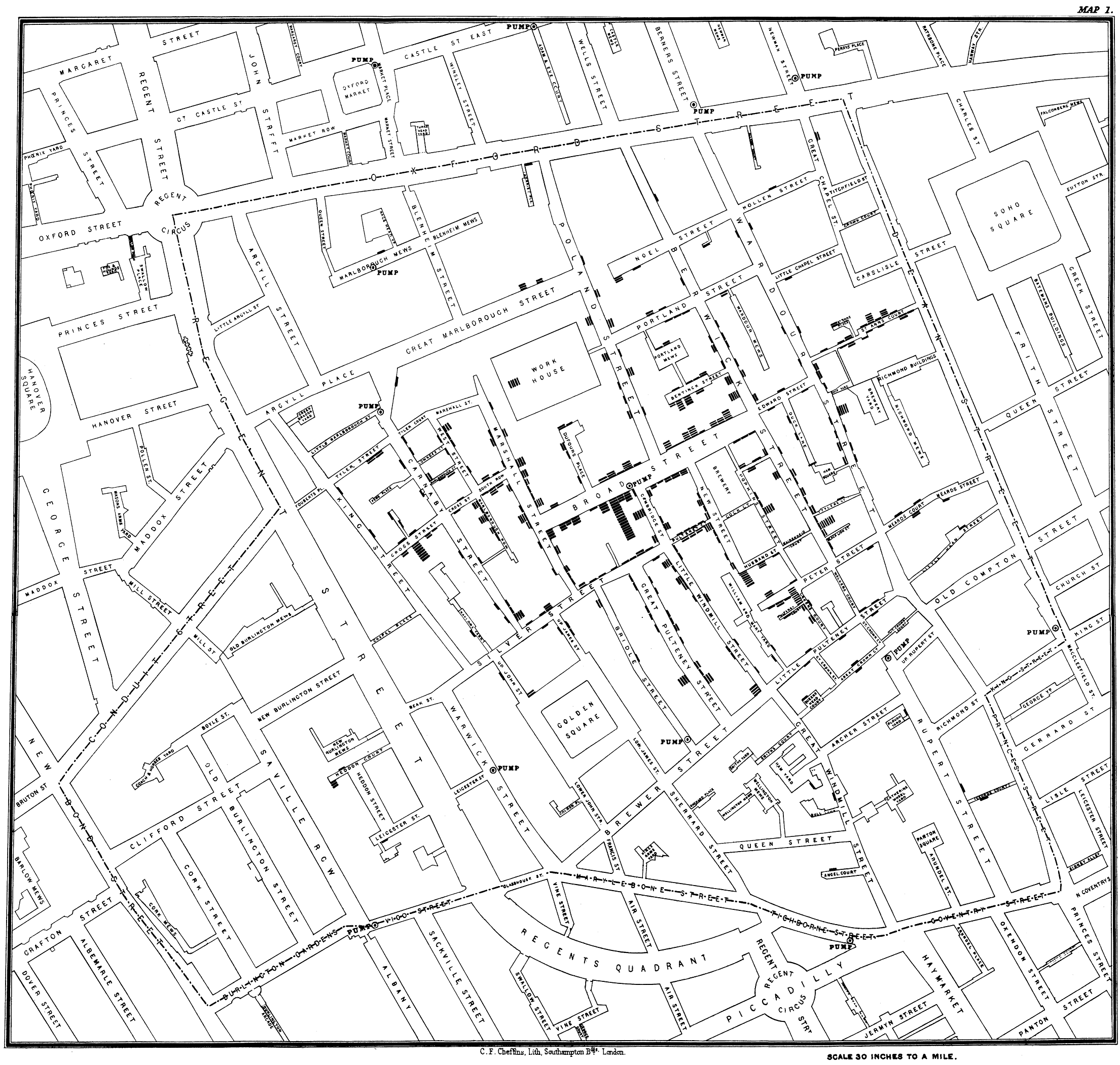
- GIS displays data in map form, often revealing patterns and relationships that are less apparent in tables and charts. Dr. John Snow famously used geospatial analysis while investigating an 1854 cholera outbreak in London. The map that resulted from Dr. Snow’s study revealed a relationship between cholera deaths and a particular water pump.
- GIS allows users to explore and analyze data in numeric and geographic space. The spatial distribution of data is relevant to many problems we face today, from deciding where to build a new hospital, to studying the impacts of climate change. Meanwhile, traditional data analysis methods are limited to analyzing data in numeric space.