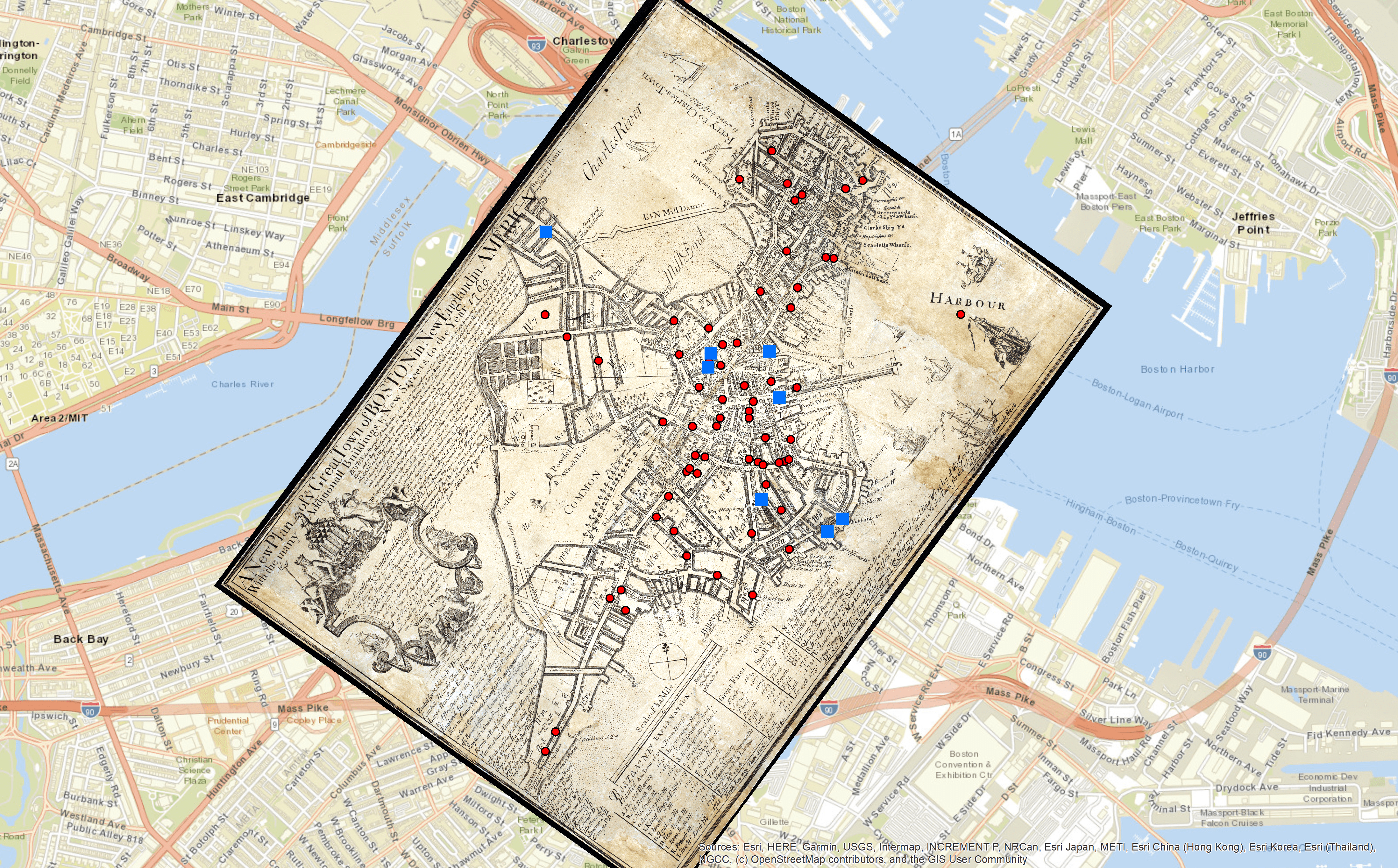
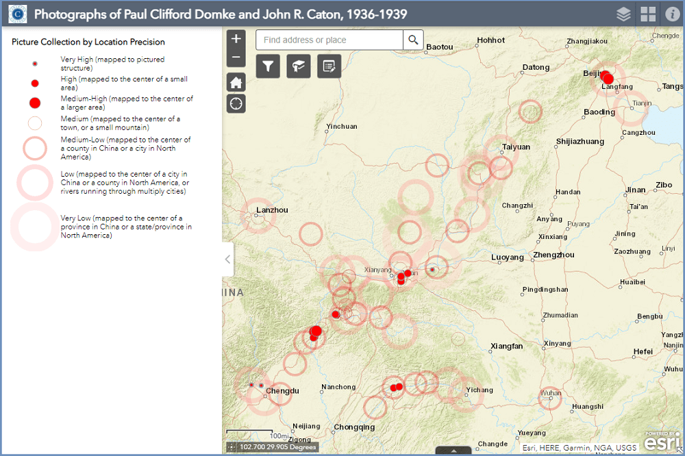
The Spatial Analysis Initiative at Carleton College was funded by the Luce Foundation in 2007.
The GIS Lab housed in the Environmental Studies program was established with the Spatial Analysis initiative to provide GIS support to the Carleton community. The support for the use of GIS, however is not limited to the GIS Lab. This website highlights how GIS has been used in the Carleton community and provides frequently sought information about GIS support resources at Carleton, using GIS data and learning GIS. Today, the Lab is part of the Curricular and Research Support (CARS) network at Carleton.
Visit the GIS Lab Website for information about the support it offers and its portfolios.
More recent work and data curated by Carleton can be found in the Gallery at Carleton’s ArcGIS Online portal.