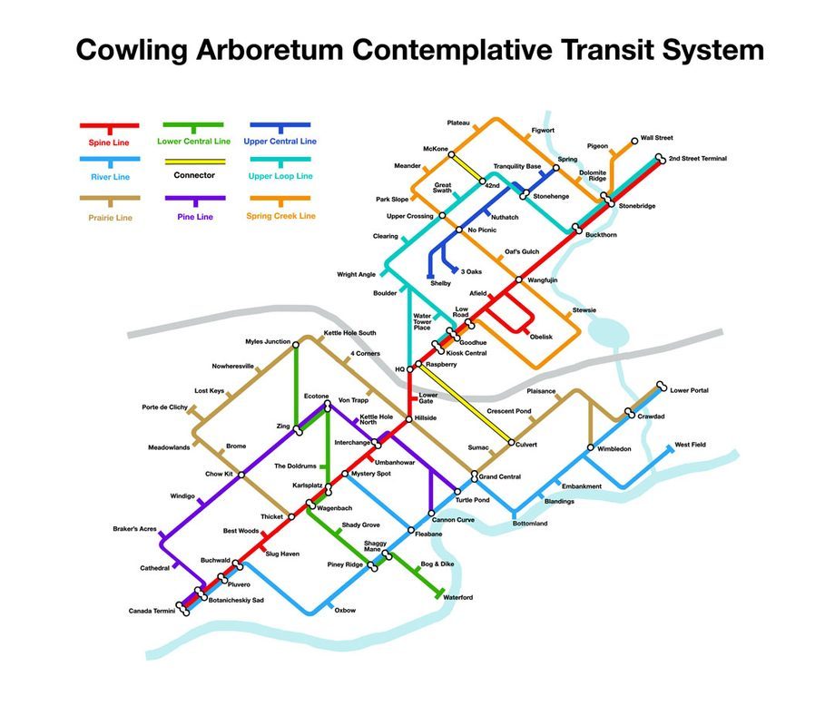
Carleton professor, visual artist, and alumnus David Lefkowitz ’85 originally created the Cowling Arboretum Contemplative Transit System (C.A.C.T.S) map in 2009. On first glance it appears to take the form of familiar urban transit maps, but on closer inspection, the ‘stops’ turn out to be places in the Arb (some of which are real, if re-named, and some of which are purely conceptual). An updated version of the map will be available on a first come, first served basis along with a new site-specific installation in Field Work at the Perlman Teaching Museum. That exhibition opens on September 24th and celebrates the Arb’s centennial while highlighting new work by faculty members in Carleton’s studio art department.
