Posts tagged with “Mapping” (All posts)
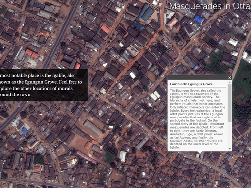
Mapping Masquerades (2012)
Professor Thabiti Willis is exploring the intersections of the wards and the family ritual masks in Ota, Nigeria using GIS mapping. Faculty and staff involved in the project include Thabiti…
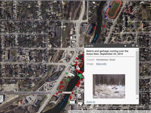
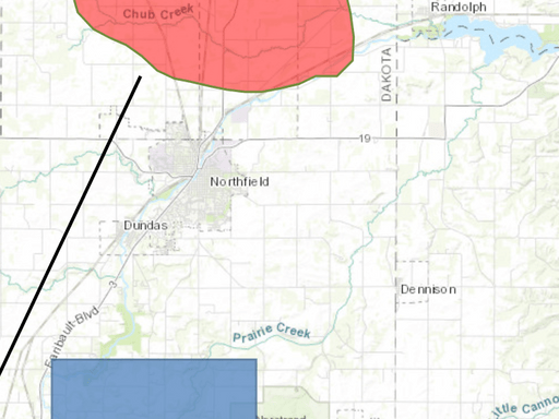
Northfield Flood Project (2013)
Sahree Kasper ’16 worked with the Carleton Archives to develop a story map (using Esri Story Maps) to commemorate the 2010 Northfield Flood. The map shows viewers concentrations of photos and highlights…
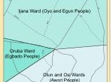
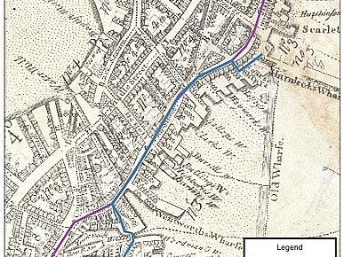
Settlement Patterns in Nigeria
Julia Moen ’14 worked with Professor Thabiti Willis (History) to use ArcGIS to map the settlement spread of the Ota Kingdom in Nigeria from the 1770s until 1842. She also…
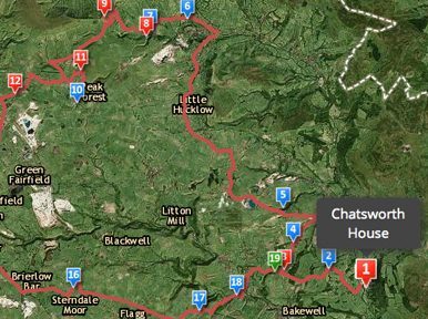
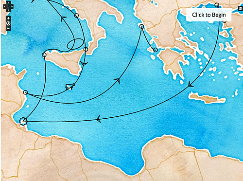
Wonders of the Peak
Gordon Leory ’15 and Erin Winter ’15 collaborated with Professor Tim Raylor (English) to develop an interactive map of Thomas Hobbes’ poem The Seven Wonders of the Peak District, using…
Mapping the Boston Massacre
Students (Sahree Kasper ’15, Kaylin Land ’15, Maureen Kalkowski-Farrand ’16) worked with Professor Zabin (History) to map depositions from the Boston Massacre, allowing for important advances in research and visualization…
Bringing the Past to Virtual Life (2018)
Bringing the Past to Virtual Life is a WordPress site which was created by HIST 235 Bringing the English Past to (Virtual) Life course taught by Susannah Ottaway (History) and…
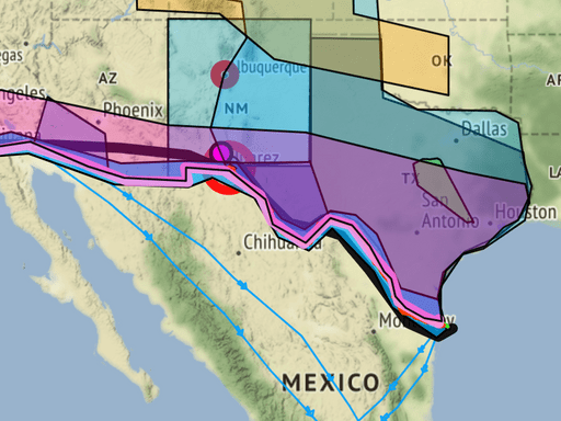
On US Mexico Border and Mapping
On US Mexico Border and Mapping is a Omeka site using KHA Map and was created by HIST275 U.S.-Mexican Border History course taught by Elena McGrath (History) in the 2019…
Summer Humanities Lab (2014)
Students from Carleton, Haverford, Smith, Wellesley, and Wesleyan worked together for three weeks to develop maps using Omeka Neatline. The maps were visual representations of Classical myths. Sahree Kasper ’16…
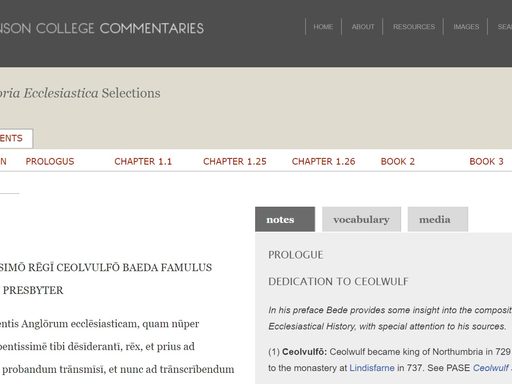
Bede Map
A collaboration between Rob Hardy (Classics), Austin Mason (History, DH), and Bill North (History) the Bede project is a commentary on selections of the Venerable Bede’s latin Ecclesiastical History of the…
A Deep Map of Northfield, MN
A Deep Map of Northfield MN is a WordPress site collaborating between with the National Register of Historic Places and HIST 338 Digital History, Public Heritage & Deep Mapping course…
Categories
- 2019-2020
- 2020-2021
- ArcGIS
- Archives
- Digital Humanities
- Digital Scholarship/Literature
- Earlier Years
- Events
- Featured Projects
- Game/Interactive
- LaTeX
- Mapping (Current Category)
- Omeka
- Recurring
- Themes-projects
- Tools-projects
- Website Creation
- WordPress
- Years